Teuchitlán and Guachimontones archeological site tour — Feb 6, 2020

Another Ajijic Charter Club tour day, this time to an ancient archeological site.  Every time we visit one of these sites (and we have now been to several in Ecuador, Peru, Guatemala, and Mexico), we become more amazed at the advanced societies that thrived thousands of years ago.  The site we visited today — by the village of Teuchitlán and called Guachimontones for the Guaje trees that grow there — was equally impressive.

We’ll discuss three aspects of the tour:  (1) the society and the irrigation techniques used to grow food in chinampas, (2) the overall site with its round pyramid and the religious significance of it, and (3) the ball court at the site.  And we’ll toss in a few other tidbits too.

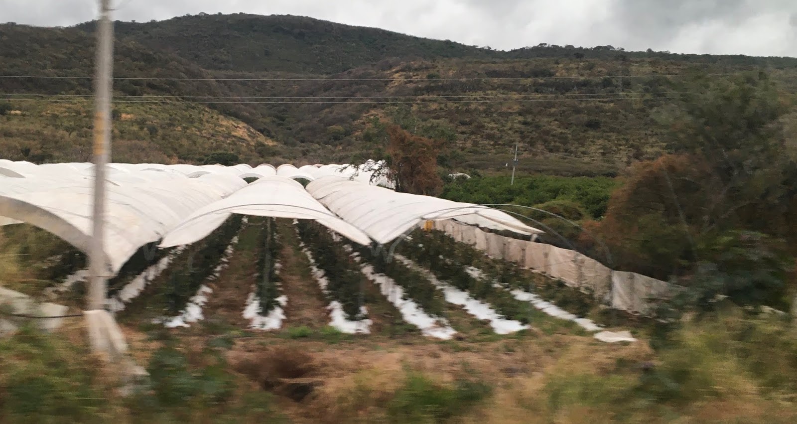
First, there were 10 of us on the tour, along with our guide, Herman.  He was our guide for another one of our trips too (Mazamitla), and while not the best guide in the world, he was okay.  We took the two-hour trip (on the other side of Guadalajara) to the village of Teuchitlán where the archeological site is located.  The most adventuresome part of the journey was that we took a short cut road from one highway to another, and the dirt path was muddy, one-vehicle wide, and in some places filled with water from the previous rain.  We did, however, get to see sugar cane plants up close — really close.
On our short cut, we actually drove through this water on the way there
We did meet a few vehicles.  Fortunately, there were spots where people could pull their cars over.

This sugar cane was about ready to be burned and then harvested.  The burning gets rid of the dead leaves and also rids the area of the rattlesnakes and coral snakes that lurk in the fields.
The village is small, and from we could tell, there was one small touristy-type shop (no, we didn’t stop).

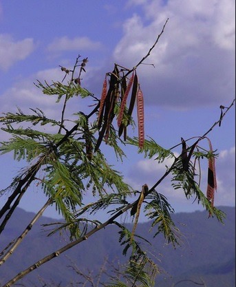
We went directly to the site named for the number of Guaje trees on the site, the one that has the long red bean-like pods with the beans inside.  We have tasted them before, and they are quite good, and are especially good when roasted.


Phil Weigand was the archeologist from the University of Arkansas who “discovered” and worked on the site for 40 years (he died in 2011), establishing its traditions and recreating the culture from the evidence in the area, called the “Teuchitlán tradition” by Weigand.  There is evidence of this tradition as early as 1000 BCE and it seems to have been replaced by around 500 AD, with the tradition flourishing from around 100 BCE to 350 AD with a potential population of around 40,000 people.

(1) CULTIVATION METHODS:  It seems these indigenous people came because of the lake and the amount of water in the area, a plus in the development of the “chinampa” method of cultivation they used.  In this method, they built up a massive number of large rectangular dirt squares surrounded by the water where they would grow corn and whatever else they needed.  The water was also a source of fish, and it was most likely a culture that fared well for nutrition.  These pictures came from the excellent museum on site, both from the photo descriptions and from the video.


(2) RELIGIOUS SIGNIFICANCE OF THE MOUNDS:  Beyond developing excellent methods of growing food, they also cultivated the site as a religious center.  The unique aspect of the site is that the tiered structures here are circular, not square as in many other locations.  There are two large circles that have been reconstructed according to the archeological evidence (The Great Guachi and The Iguana) and between the two is an elongated ball court, thought to be the largest court anywhere in Mesoamerica.  The third mound has no been recreated so we were able to climb up to the top and view the entire area from on high.  Circle 1 includes 12 platforms and is 125 meters across; circle 2 is 115 meters across and is surrounded by 10 evenly-spaced platforms which would have been the base for perishable buildings, perhaps covered by a thick layer of clay painted plaster.  The space between the 10 platforms and the circle was probably used for religious dancing.


A recreation of the dancing that would have been done between the mound and the platforms.
That’s the two of us with the Iguana Circle to our left and Mt. Tequila (a volcano) to the right in the background.
One of the platforms for the 10 equally-spaced buildings around the circle 

This is the third mound which has not been reconstructed.  We were able to walk up a little path to the top.  Stunning views.
The view from the top
These circles also had deep holes in the top that are suspected to be post holes; thus the ceremonies would have included a Flying Ritual in which a priest, tethered to the top, would simulate flight during ceremonies.

(3). THE BALL COURT:  Between the two large mounds is one of two ball courts on the site, and one of the courts is the largest ever found in Meso-America.  In this, the oldest ball game in MesoAmerica, players would hit the ball with their shoulders or their hips, and the game would often last all day.  To say “game,” however, is a bit of a misnomer because often, the winner was deemed to be chosen by the gods; thus, the loser would die.  Several of the bones found in the area indicate broken hips in the males.  Doesn’t sound like much fun!  Spectators, however, would watch, and presumably cheer, from the “stands” along the sides of the court.


The steps on the sides is where the spectators would sit


The museum itself was excellent and was shaped in the circular form of the mounds.  We started with a video, and then moved on to several of the exhibitions.  Some of the pictures from above were in the museum.  There was also a recreation of a tomb.
Multiple architectural aspects of the building, both inside and out, are recreations of the circles themselves 
A tomb found on site
Another notable fact of the area is that it contains the third largest deposit of obsidian anywhere in the world.  This volcanic rock would have been important for making arrowheads and other implements to improve their lives, including jewelry.

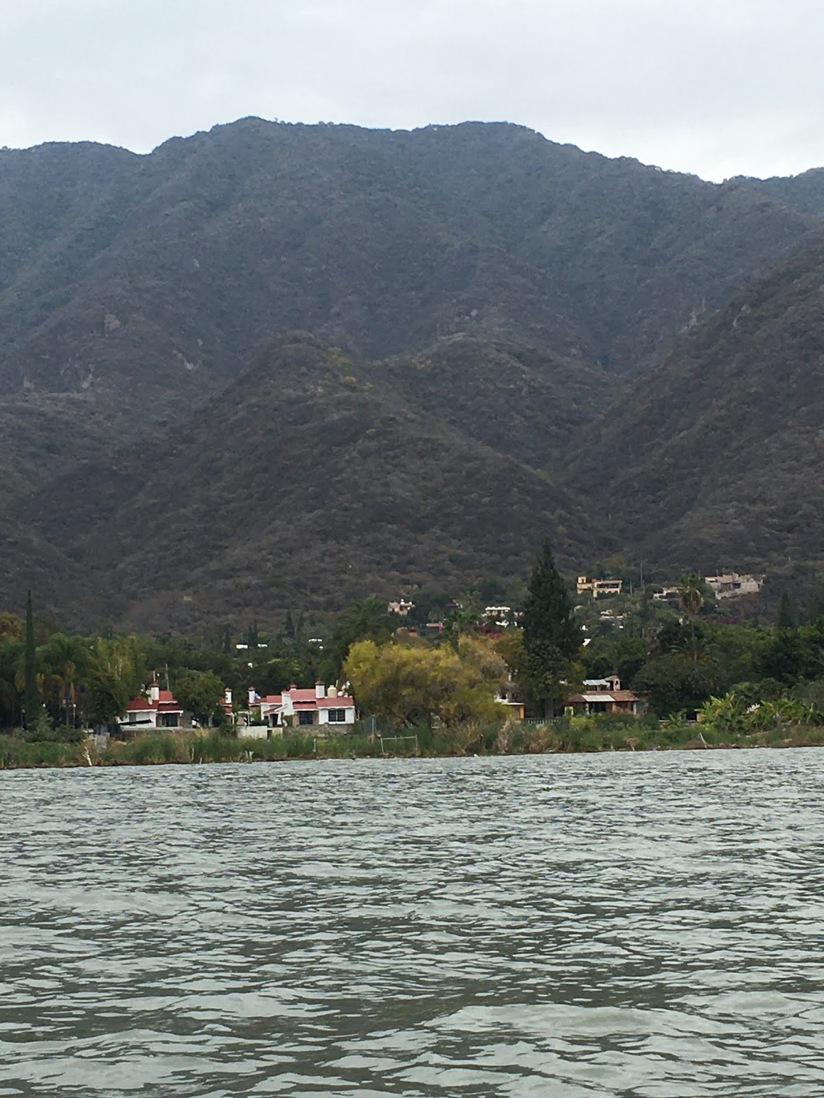
After visiting the site, we went to a delightful little lake-side restaurant, with the lake so close that it was actually encroaching on the restaurant floor.  The specialty of the house was frog-legs from frogs in the lake.  Julie enjoyed these huge delicacies which tasted sort of like — well, chicken.


We were all tired and did some sleeping on the way home.  It was a good day with beautiful weather after a rather chilly few days.

Mazamitla — day trip! Feb 3, 2010

On a rainy and cold morning, we set off for Mazamitla, despite the fact that Julie had a bad back, foot, knee, and thumb (don’t even ask!).  She took two pillows with her, and did reasonably well on the day-long adventure.

What was perhaps less pleasant was the weather.  We are having a stretch of unseasonably cold weather around the lake, including today’s full day of rain.  It generally doesn’t rain here until spring and summer, but it rained the entire day of our trip, and it was really cold to double the “unfun.”  When we arrived at Mazamitla, people were wearing parks with fur hoods — I kid you not!

But enough of that. Let’s talk about the tour itself.  We left Ajijic at 7:45 with 8 other people.  Nice van.  Comfortable too.  But first a map.

The trip, as you can see, took about 1.5 hours.  Actually a bit longer since we didn’t speed, made a couple of stops, and dawdled a bit here and there.

Probably the most intriguing part of the day was a morning stop for El Pajarete, a typical morning drink in the small towns in the area.  The ingredients?  Brown cane sugar, chocolate, vanilla, instant coffee, warm milk (straight from the cow), and TEQUILA!  We mixed our own ingredients at a little stand “coffee shop” along the road (one woman overdid the tequila; she was quite funny and talkative for about an hour — no, not me), then walked over to a guy who was milking a cow, and he squirted warm milk directly into our cups.  I hear that sometimes, people then light the drink to burn off the alcohol.  Didn’t see that though.  We joined the other folks sitting around and drinking their morning coffee. The place was busy because today is a Mexican holiday — Constitution Day, so very few people were working.  Well, actually, Constitution Day is Feb 5, but the celebration of it is always on the Monday of that week.
The ingredients, all but the warm milk, which always goes in last
Here comes the milk!
As a plus, when the cows were being milked, they also got to eat: quid pro quo
There were A LOT of cows waiting to mix their milk with tequila!
The locals, hanging out.  Wonder how much tequila they put in their drinks (you could mix up your own)

Then we were on our way again.  We stopped at another little town, but it was deserted because of the national holiday.  We were supposed to view a mural of the history of Mexico in the town hall, but it was locked.  We were able to get into the church, which still had decorations from a wedding the weekend before.  We also saw a “posting of the bans” flyer which must be done to notify the public of an impending marriage. 


Nice stained glass windows
The next marriage.
We were soon on our way again and made our way to Mazamitla.  A look at the elevation might give you an idea about why it was so cold, but the cold temperature clearly was unusual as was the persistent rain.

Our first stop was a restaurant, a busy place, packed because people apparently come here from Guadalajara and Mexico City (and other locations, I suspect) to spend time in the cabanas.  Happily, the restaurant staff was highly efficient.


The town square was quaint, and the town has a ton of shops, restaurants, bars — it’s sometimes called the Switzerland of Mexico because of its alpine atmosphere.
Every town plaza has to have a church!
Mazamitla is known as one of Mexico’s “Magic Towns,” designated by the Mexican government as special places for cultural, historical or social reasons; thus they get extra federal money for publicity and beautification.  
This town was as busy as it could be.  Since I was having “body” issues, I didn’t go out on the one-hour wandering time to check out the shops, but Harold went out — in the rain — and said I didn’t miss much.  The place was really crowded, and the traffic in the town and on the road home was horrendous.
We were to make one other stop — to waterfalls which are apparently gorgeous, but it was so cold and rainy that the tour guide suggested we shouldn’t go because the cobblestones were so slippery (it was hilly too).  So — no waterfalls.
On the route, we were able to figure out what all the rectangular huge whitish things are that we can see from across the lake.  They are a white sheeting material covering berries, all kinds of berries.  While the government owns the land, Driscoll rents it, and this is where many of the Driscoll berries come from.

One last stop, this time for another tequila drink, one called “Vampiro,” a mixture of tequila, squirt, orange juice, and some sort of red juice.  This one was quite good.  FYI, we both tossed our morning milk/tequila drink after tasting it. . . .

Take your pick of alcohol
And a picture of us with the vampire


Lake Chapala — facts and figures and pictures of the lake itself

Lake Chapala is a BIG lake, the third largest in Latin America after Lake Titicaca in Peru and Argentina Lake in Argentina (?)

From the Malecon shore walk
The view at sunset from our abode
Another view from our balcony
The view from the top of a mountain close to the lake
You can see the beauty of the lake from the pictures in this posting, but we wanted to share some facts about it too.

(1) First — its size.  It’s big.  It is about 50 miles long from east to west and about 10-15 miles wide from north to south, thus covering about 420 square miles.  Oh, and its about 5000 feet above sea level.  Yes, that’s almost a mile up, and that’s about the same distance up as Denver, CO.  Oh, and it supplies 55% of the drinking water for Guadalajara.

(2) It’s a shallow lake, with a mean depth of 23 feet and a maximum of 34 feet.  Actually, around 2001-01, Guadalajara and other areas of the country were taking so much water from the lake that it started to go dry. The lake was at 15% capacity.   Panic ensued, and fortunately, they were able to get the lake back to about 60% capacity, which is where they expect it will remain.

(3) It is fed from four rivers (Rio Lerma, Rio Zulu, Rio Huaracha and Rio Duerno), and it’s drained by the Rio Grande de Santiago.  The water then flows NW into the Pacific Ocean.  Is it polluted?  Well, yes, but it’s getting better:  “The water entering the lake from the Lerma River is highly polluted with heavy metals and other toxic substances as a result of insufficient wastewater treatment by many industries.  Additionally, many of the towns around the lake release their sewage and waste water into the lake without treatment” (from globalnature.org).  However, recent studies indicate that the lake is in decent shape, with decent water quality (you can swim in it, but we haven’t seen anyone in the water in Ajijic) and you can eat the fish from the lake.

(4) The lake has three small islands: Isla de los Alacranes (visible from the town of Chapala), Isla Mezcala (the largest and one which we hope to visit later in our stay), and a small one called La Isla Menor.  Contributing to the overall beauty of the area is the mountains and sierras that surround the lake: five different ranges.

(5) And we can’t forget all the towns surrounding the lake, including Chapala (Ajijic — where we are staying), San Antonio Tlayacapan, Jocotepec, SAN Juan Cosala, San Luis Soyatlan, Mezcala de la Asunción, Tizapan, El Alto, La Palma, Michoacan, and Ocotlan.  We will be doing a tour around the lake toward the end of our stay here.  Actually, it was supposed to be last week, but Julie’s back injury meant we had to postpone the trip.   Grrr.

(6) The combined population of those towns around the lake is large, but I couldn’t find any reliable number of people. I did learn, however, that the cachement area for the lake has about 11 million people.   But the number of expats is around 30,000, but I have heard that at times there are 50000,  depending upon the time of year.

 You can see the fishermen, especially busy during the weekends.


Lots of birds by the lake.  There is a Lake Chapala Birders association which monitors the bird numbers and which is an active bird watching group.  They found 177 difference species of birds in the December of 2019 bird count, 40 more species than they found in December of 2018.

This is a huge nest of green parrots on the Malecon walkway

On one of our many walking treks on the Malecon, there was a boat for rent.  We decided to go for it, and here are a few shots of the shoreline and the mountains from the water.


Hard to see, but that is the view of the skateboard park along the Malecon.  It was getting heavy use on this day.

If you look at the Ajijic Hiking Group post, you will note that on our first hike, we hiked up to the chapel.  That little yellowish blob on the hillside is the chapel.  There is an up close picture on the Ajijic Hiking post.


This is apparently a hotel, according to our driver, who only spoke Spanish.  I suspect it is a resort because that green space appeared to be a golf course.